Welcome to Deduce Technologies

Powering precision in Last Mile Connectivity, Maps, and Geospatial Solutions with global reach and local expertise. Trusted by global leaders, our data fuels map platforms used by millions daily.

With over 25+ years of domain knowledge across logistics, transportation, utilities, and retail we bring innovation to every corner of your map.

Deduce Technologies

LRDE (DRDO, Ministry of Defence) Awards

Prestigious project awarded to Deduce Technologies
We are pleased to announce that LRDE (Electronics & Radar Development Establishment), a premier laboratory of the DRDO, Ministry of Defence, India has awarded a prestigious project to Deduce Technologies to design, develop, and deploy a Geospatial Chart Server to handle Electronic Navigation Charts (ENC) for Navigation Radars.

DRDO Project

Engineering Excellence

Delivering innovative foundation design solutions powered by cutting-edge mapping technologies. Our geospatial expertise transforms complex data into actionable insights for engineering projects worldwide.

3D Buildings

Geo-environmental Services

Ensuring sustainability and compliance in every project through precise environmental mapping and analysis. Our solutions help organizations minimize environmental impact while maximizing operational efficiency.

Geofencing

100 Million+

Happy Users

6 Million+

Person Hours

Solutions Development

$200 Million

Worth

Transportation Expense Savings*

About Deduce Technologies

About Deduce Technologies

Deduce Technologies is a Technology Consulting Services firm with 1,700+ associates spread across India, US, Poland, Indonesia, and UK. We support several Fortune 100+ clients by integrating our strong domain knowledge with several decades of Data warehouse, and AI-powered solutions, helping businesses transform location data into actionable insights.

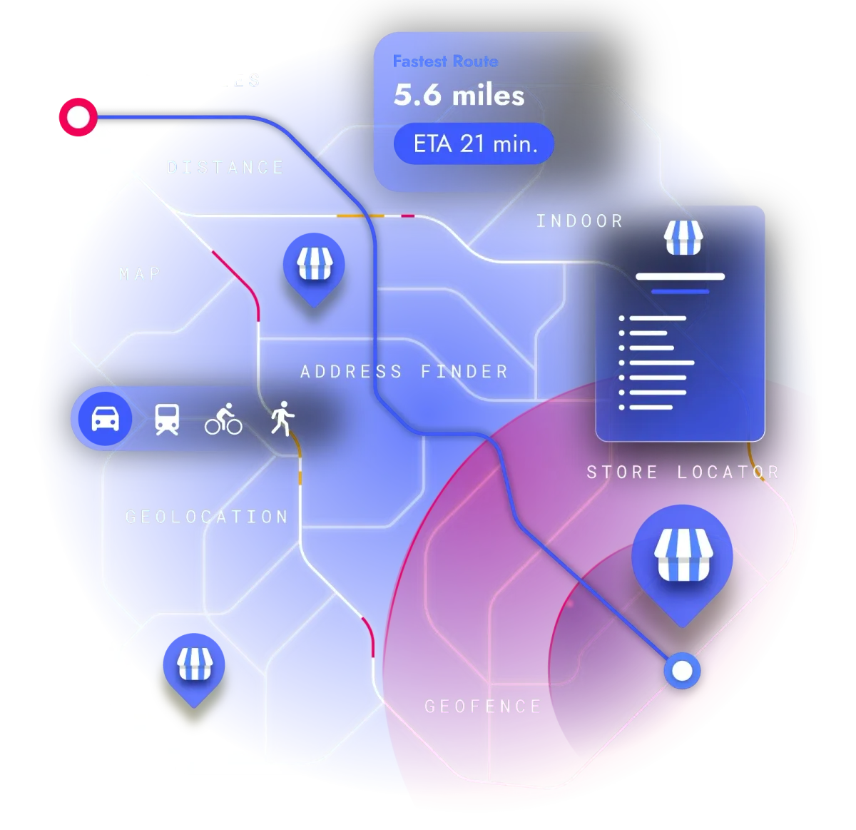
We primarily focus on solutions for Logistics, Transportation, Retail, CPG and new age Internet E-Commerce Enterprises. Our team of geospatial experts, data scientists, and software engineers combine cutting-edge technology with deep domain knowledge to deliver innovative solutions that drive real business value.

  • ISO 9001:2015 and ISO 27001:2013 certified
  • 1700+ employees across 3 global offices
  • Trusted by Fortune 100+ companies
  • Continuous innovation through R&D
Learn More About Us
Our Solutions

Our Solutions

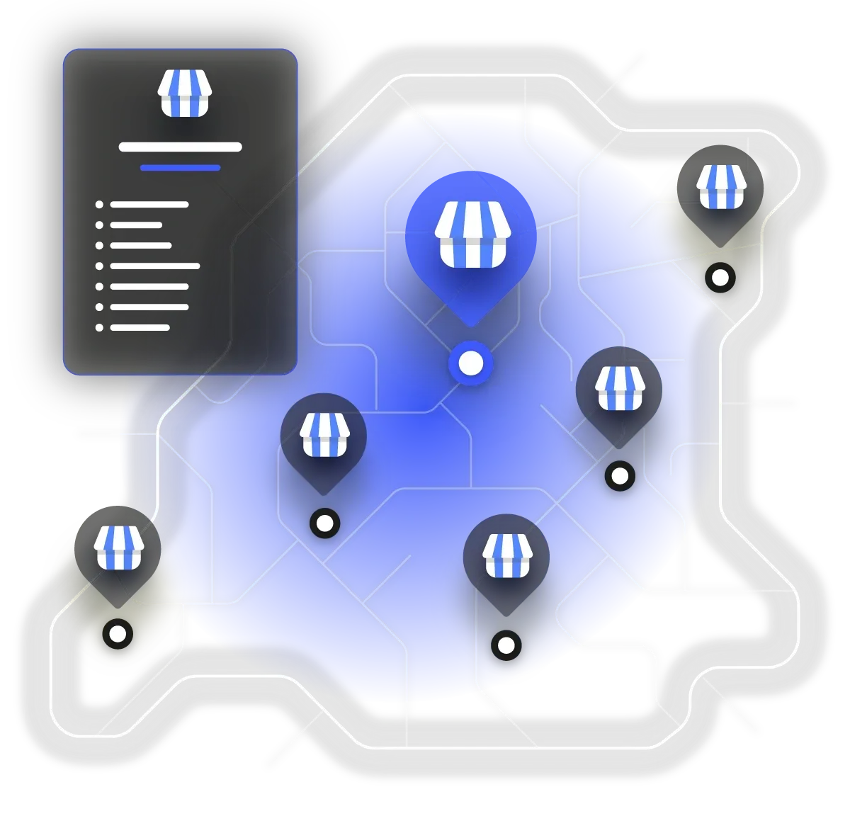
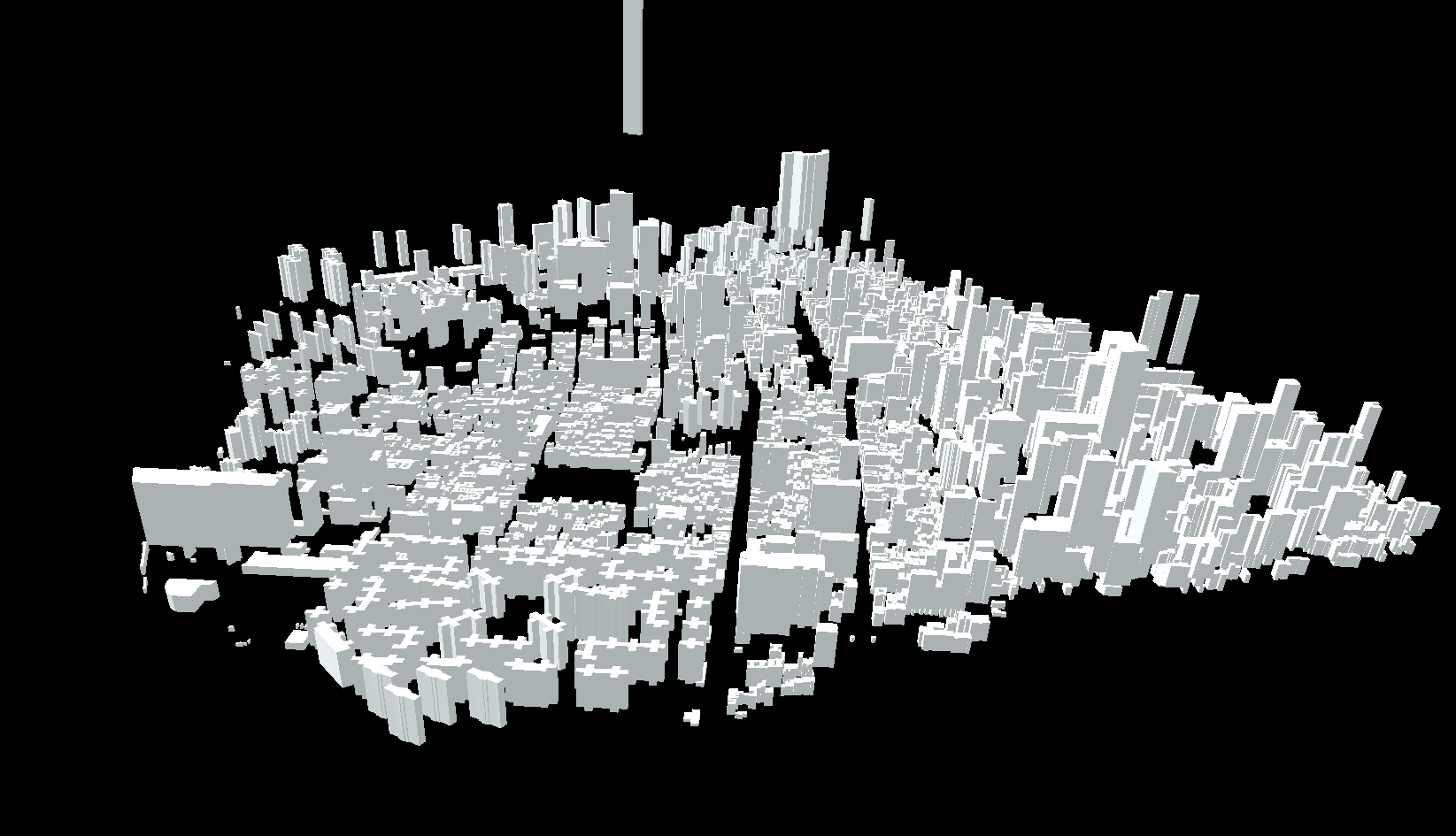
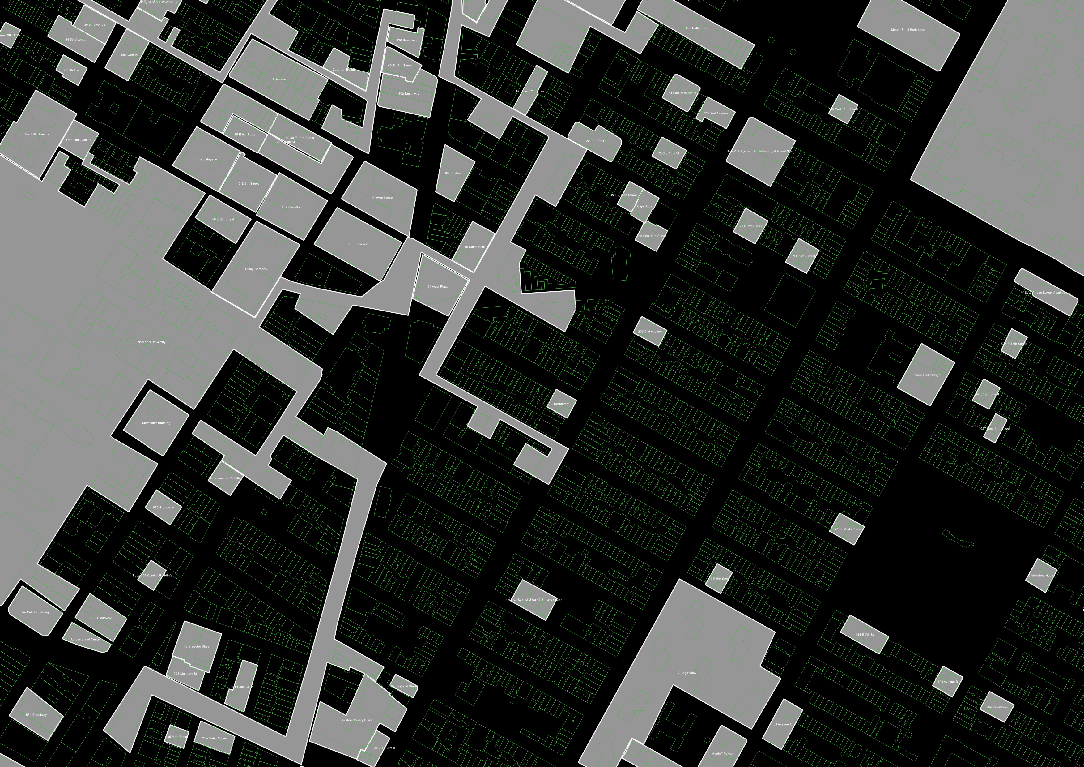
We provide comprehensive geospatial solutions that help businesses optimize operations, reduce costs, and improve decision-making through location intelligence.

Our technology stack combines proprietary algorithms with machine learning to deliver accurate, scalable solutions for complex geospatial challenges.

  • Advanced mapping and navigation solutions
  • Location-based analytics and insights
  • Custom geospatial application development
  • AI-powered data annotation services
  • Enterprise-grade geospatial APIs
Explore Our Solutions
Our Technology

Our Technology

At the core of our solutions is a powerful technology stack that combines geospatial expertise with artificial intelligence and big data analytics.

We continuously invest in R&D to stay at the forefront of technological innovation, ensuring our clients benefit from the latest advancements in the field.

  • Proprietary machine learning algorithms
  • High-precision geospatial data processing
  • Cloud-native architecture for scalability
  • Real-time data processing capabilities
  • Advanced computer vision techniques
Discover Our Technology

What Our Clients Say

Hear from organizations that have transformed their operations with our solutions

"We are pleased to announce that LRDE (Electronics & Radar Development Establishment), a premier laboratory of the DRDO, Ministry of Defence, India has awarded a prestigious project to Deduce Technologies to design, develop, and deploy a Geospatial Chart Server to handle Electronic Navigation Charts (ENC) for Navigation Radars."
DRDO
DRDO

Ministry of Defence

"The accuracy and detail of Deduce's mapping data surpassed all our expectations. Their solution integrated perfectly with our existing systems and has become mission-critical for our operations."
Client
Michael Chen

Director of Operations, Urban Planning Dept.

"Working with Deduce has been a game-changer for our navigation product. Their APIs are reliable, well-documented, and their support team is exceptional in helping us implement complex geospatial features."
Client
David Wilson

Product Manager, TechStart

Trusted By Industry Leaders

We partner with organizations across multiple sectors to deliver transformative geospatial solutions

Ready to Transform Your Business with Geospatial Intelligence?

Discover how Deduce Technologies can help you unlock the power of location data to drive efficiency, reduce costs, and gain competitive advantage.

Get Started Today